Dylan K.
Mar 15, 2026
5
The trail guide gave us a solid feel for difficulty, terrain, and timing before planning the ride.
Use this guide to review distance, terrain, elevation, seasonality, and ride style before planning a trip on Juniper Ridge Overlook. The layout below is built to help riders quickly decide whether this route fits their group, machine setup, and confidence level.
Distance
11.8 miles
Typical time
4-6 hours
Difficulty
Hard
Best season
June to October
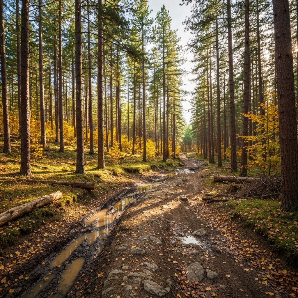
A high-desert route with volcanic soil, punchy climbs, and long ridgeline stretches that open into broad views over evergreen valleys.
Best season
June to October
Permit note
Watch trail conditions after rain
Planning reminder
Check route access, weather shifts, and local rules before heading out. Trails that look calm in guide photos can ride very differently depending on season and recent conditions.
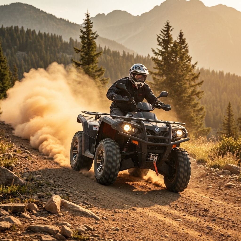
Juniper Ridge Overlook is better suited to more experienced riders because the terrain and pace can become demanding quickly.
Review the watch trail conditions after rain, seasonal timing, and local conditions before riding. Juniper Ridge Overlook works best when riders plan for terrain changes, weather shifts, and enough fuel or supplies for the full route.
June to October is typically the best riding window for Juniper Ridge Overlook, since weather and access tend to be more favorable during that period.
Reviews
Mar 15, 2026
The trail guide gave us a solid feel for difficulty, terrain, and timing before planning the ride.
Feb 11, 2026
Really helpful overview for matching the route to our group skill level.
Jan 7, 2026
Clear trail notes and rating context made it easier to choose the right off-road day.
Distance
11.8 miles
Elevation
1,120 ft
Typical time
4-6 hours
Surface
Pumice, loose volcanic rock, forest trail
More Trails